The SewerVUE
Multi-Sensor Pipe Inspection Float
Inspect 18"+ Pipes Without Shutdown
The MPIS Float inspects high-flow, large-diameter pipes without shutdown or bypass pumping. DataVUE sensor-fusion software records and exports all sensor streams in a single workflow.
Check out our brochure for additional information

Float Features
Description
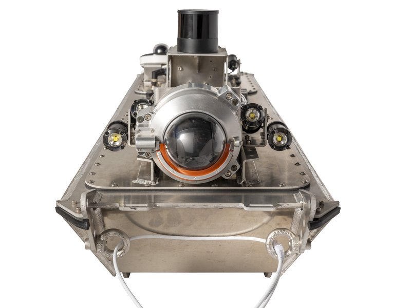
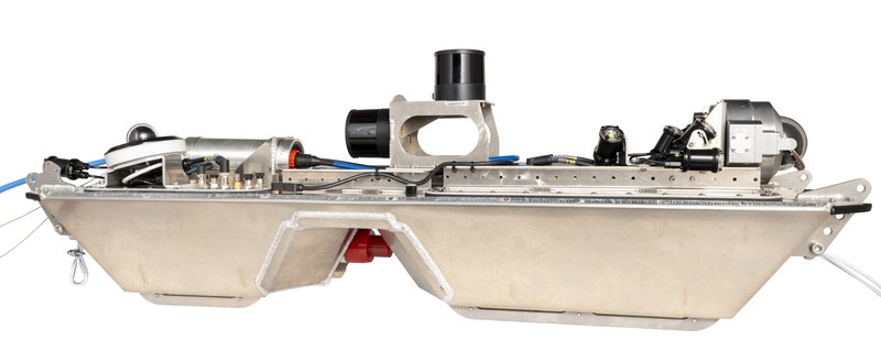
The MPIS Float integrates HD CCTV, 3D LiDAR, and sonar imaging on a single long-range deployment platform. Sonar profiles the pipe below the flow line and quantifies sediment depth and volume. LiDAR captures above-water geometry. Combined output is a complete pipe profile under flowing, partially-submerged, and fully-submerged conditions.
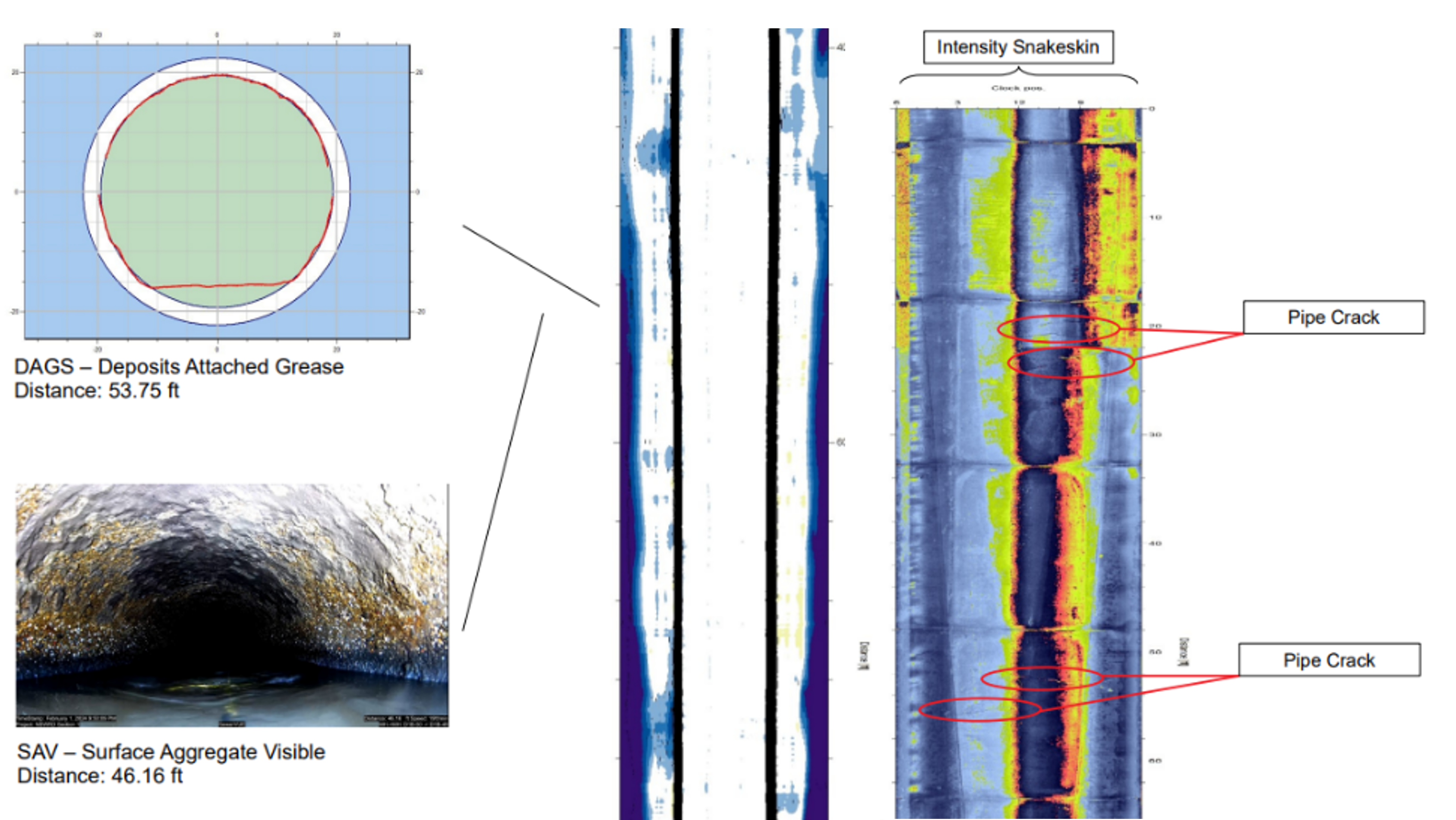
Deliverables include integrated, quantitative corrosion and debris measurements, a 360° virtual pan/tilt/zoom video, and laser and sonar cross-sections.
DataVUE sensor-fusion software enables on-site visualisation, verification, and recording of every sensor stream. Connectivity and data integrity are confirmed at the access point prior to demobilisation.
Contact us to discuss your project.
MSI Geometry Results
Utilizing orientation sensors for accurate scene placement, our system merges scans seamlessly through AI-driven algorithms. It identifies key features such as stains, joints, and cracks while enriching data with dense 2D information. By geo-locating using surveyed references and fusing sensor data, we generate precise 3D pipe measurements to construct a comprehensive digital twin. This model enables thorough assessment and evaluation of slip liner rehabilitation feasibility. By eliminating the need for repeat inspections through error correction and synchronized data collection, our advanced reconstruction algorithms deliver exceptional results without the interruptive "stop and scan" procedures, maximizing efficiency and ensuring optimal data quality.
Contact us for more information.