2D vs. 3D LiDAR: Optimizing Multi-Sensor Inspection (MSI) Data for Pipeline Rehabilitation
By SewerVUE Technology
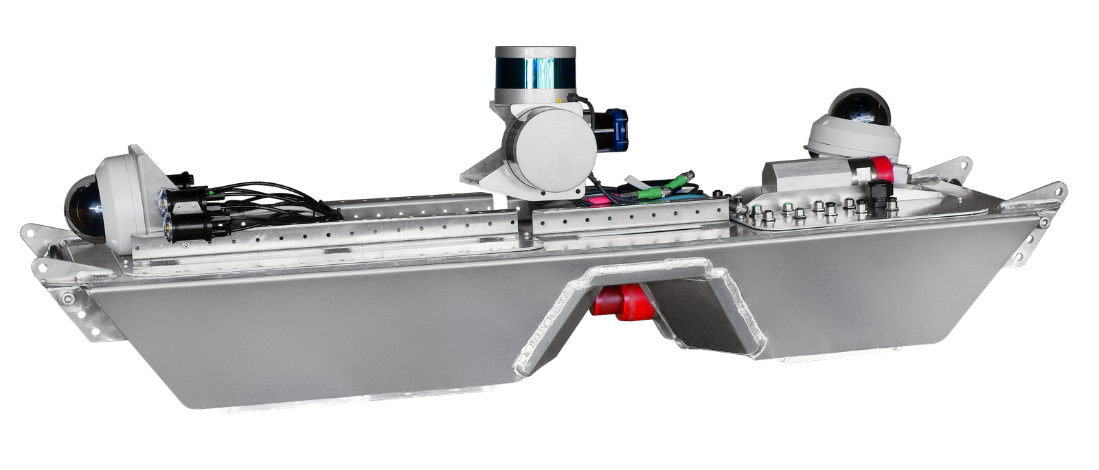
When it comes to large diameter pipe inspection, the choice between 2D and 3D LiDAR technologies can significantly impact the quality and actionable nature of your data. To save yourself from costly mistakes in rehabilitation decisions, it's crucial to understand the differences between these two approaches and how they contribute to Multi-Sensor Inspection (MSI) data. In this post, we will be going over MSI and explore the strength and limitations of 2D and 3D LiDAR.
Understanding Multi-Sensor Inspection (MSI)
MSI relies on a combination of sensors that provide a comprehensive view of the pipeline's condition - above-flow measurement, below-flow measurement, and localization sensors. The most common MSI products typically incorporate 2D profiling, which combines various sensors to collect data. These sensors include LiDAR, video, sonar, odometers, IMUs, and altimeters. Proper synchronization, typically achieved through time-stamping, algorithms, and GPS, is essential to ensure the reliability of the collected data.
Limitations of 2D LiDAR
2D LiDAR systems are known for their good spatial resolution but poor accuracy. They capture a cross-sectional view of the pipeline, making them less effective in capturing detailed features like bends, sags, and pipe breaks. Additionally, the reliance on 2D scanning technologies is not necessarily cost-effective, as they often require just as much deployment cost as their 3D counterparts.
Making 3D Point Clouds From 2D LiDAR
To generate a 3D point cloud from 2D LiDAR, the laser scanner swings up and down to scan the target object or environment. Multiple scans are collected throughout the pipeline, and these 2D slices are compiled to reconstruct a 3D model. However, creating an accurate 3D model from 2D scans can be challenging due to limitations such as IMU drift, tether stretching, wheel odometer slip, and the difficulty of precisely positioning the robot within the pipe.
The Power of True 3D LiDAR Scanning
True 3D LiDAR technology offers a more accurate and reliable approach to mapping pipeline interiors. Instead of relying on the precision of robot positioning, it employs 3D conical scanning to collect scene information, producing around 60 "scenes" per second. Multiple orientations provide cross-references, and feature mapping updates the global orientation and position. This approach enables accurate geo-location of features on the pipeline's surface, bend analysis, virtual mandrel creation for inner pipe dimensions, and assessment of sags and hydro capacity.
Advantages of 3D LiDAR
3D LiDAR offers several advantages over 2D LiDAR and other scanning technologies:
- Accurate Data: 3D LiDAR provides high-quality data without being affected by the speed or position of the ROV in the pipe, ensuring that the data's accuracy remains consistent.
- Improved Analysis: 3D LiDAR facilitates more in-depth analysis, allowing you to assess the curvature, deformation of pipes, and perform critical tasks like creating virtual mandrels.
- Cost-Effectiveness: The demand for 3D LiDAR technology in self-driving cars has brought down prices, making it an even more cost-effective choice.
In conclusion, 3D LiDAR technology offers a more advanced and actionable approach to pipeline inspection compared to traditional 2D LiDAR. With its accurate data, cost-efficiency, and superior analysis capabilities, it's clear that the benefits of 3D LiDAR far outweigh the limitations. To ensure the success of your pipeline inspection and rehabilitation projects, embracing 3D LiDAR is a step in the right direction.


